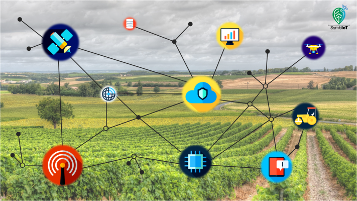
SymbIoT is a project funded by the action «RESEARCH-CREATE-INNOVATE», Operational Programme Competitiveness, Entrepreneurship and Innovation 2014-2020 (EPAnEK), aiming to address key challenges in the precision farming domain.
The SymbIoT project aims to provide precision farming services, accessible to the average Greek farmer and characterized by the very high precision in positioning agricultural machinery, vehicles and measuring instruments, a positioning precision that can even reach a level less than 10-centimeters.
The SymbIoT project introduces advanced positioning capabilities, enabling the development of new applications in the field of precision farming that support, among others, spatial mapping, route planning and automatic navigation of unmanned vehicles in the field.
- Spatial mapping: Allows for farmers to understand topology and other geospatial parameters that either remain static (parcel boundaries, tree positions, entry/exit points) or dynamically change (sampling or work positions) throughout time. Spatial farm mapping supports many production activities such as tillage, watering, sowing, harvesting, and plant protection. Farmers will, as a result, conserve inputs and cut costs.
- Route planning: Allows farmers to plan routes of farm equipment, such as tractors and harvesters. Thus, farmers will cut down fuel costs and produce with less GHG emissions. Farmers will be provided with new insights into the movement of equipment, crucial to making the most informed and efficient farm management decisions.
- Auto-navigation: Allows for the use of mobile farm equipment based on precise GNSS data. For example famers will be able to steer harvesters to high precision allowing for the completion of tasks in the most efficient and time-effective manner. Auto-navigation can work in conjunction with previously planned routes or based on real-time GNSS data feeds.

